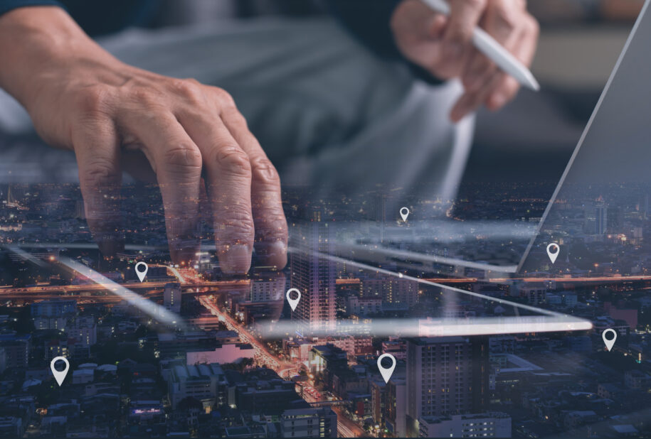
Geospatial data is a type of data that provides location information and insights into how objects and places are related to one another. It is becoming increasingly important in many industries. This is because it provides not only location information but also insights into how objects and places are related to one another. As a result, geospatial data is being applied to various applications, including logistics, agriculture, public safety, environmental protection, natural resources, transportation, retail, and enterprise resource planning.
For instance, in logistics, geospatial data can be used to optimize supply chain management by identifying potential bottlenecks and optimizing routes for delivery. In agriculture, geospatial data can be used to monitor crop health, plan irrigation, and optimize land use. Similarly, in public safety, geospatial data can be used to detect and respond to emergencies, and to plan and manage resources during natural disasters. In environmental protection, geospatial data can be used to monitor and manage natural resources, such as forests, water resources, and wildlife habitats.
Moreover, transportation can also benefit from geospatial data by optimizing routes, monitoring traffic, and planning infrastructure development. In retail, geospatial data can be used to analyze valuable trends, identify new locations, and enhance customer experience. Similarly, in enterprise resource planning, geospatial data can be used to manage assets and resources, and to optimize supply chain management.
To capture insights from geospatial data, a Geographic Information System (GIS) is necessary to integrate diverse types of information from multiple sources. GIS technology has become essential in modern business operations as it enables businesses to achieve the following:
- Identify competitors and pinpoint new business locations
- Assess the capacity of locations to store and distribute goods
- Locate faults in the supply chain
- Analyze valuable retail trends
- Increase operational efficiency and reduce costs
- Gather data on people and property
- Manage service delivery
Through geospatial analysis, businesses can gain a deeper understanding of their surroundings and make more informed decisions. By analyzing the data using GIS, businesses can obtain a clearer picture of their market and make strategic decisions that will help them stay ahead. Moreover, GIS technology is constantly evolving, and new applications of geospatial data are being discovered all the time. Therefore, businesses that embrace geospatial data and GIS technology will be better equipped to stay ahead of the competition and succeed in the market.


